AVR Surveys
Accurate Views for Planning Applications
Get a Free Quote From Us Today!
We aim to get back to you in 24 hours.
At AVR Surveys, we specialise in producing Accurate Visual Representation surveys for both planning applications and proposed developments. Our expertise lies in combining precise survey data, high-resolution photography, and proposed design information to craft verified views that depict how a development will appear from chosen viewpoints.
These surveys are crucial for visualising the impact of a project and assist in making informed planning decisions. We operate across the UK, providing our services to developers and architects.
If you need a reliable AVR survey, get in touch with us today.
Who Is AVR Surveys?
At AVR Surveys, we are committed to delivering Accurate Visual Representation surveys that meet the highest industry standards. Our skilled team measures and compiles data with precision, employing sophisticated techniques such as lidar scanning and photogrammetry to ensure comprehensive detail.
We use state-of-the-art equipment, including total stations and GNSS (Global Navigation Satellite Systems) receivers, to gather high-resolution spatial data.
By carefully blending survey data, high-resolution images, and detailed design inputs, we produce visualisations that assist architects, planners, and developers in the planning and approval process of new developments. Our surveys are invaluable for obtaining planning consent, conducting feasibility studies, and managing every phase of the development.
Whether working on residential projects, commercial properties, or public infrastructure, we ensure that our clients have the crucial information needed for informed decision-making. Get in touch to see how AVR Surveys can support your next project.
What AVR Surveys Services Does the company AVR Surveys Provide?
We offer a range of AVR surveys tailored to suit different project needs, ensuring a approach to visual analysis.
- Verified Views: Visual representations that show the impact of developments and conform to guidance such as the Landscape Institute’s Verified Views Guidelines. These are crucial for planning applications and provide an accurate depiction of a project’s potential impact on the environment.
- Photomontages: Images that incorporate design proposals into real photographs, helping stakeholders understand the visual implications of new structures within the existing landscape. We use professional-grade cameras and adhere to industry standards for consistency and accuracy.
- 3D Modelling: Detailed three-dimensional models that aid in visualising the proposed developments from multiple angles. Using software like Autodesk Revit, we create models that assist architects and planners in refining their designs by identifying potential issues.
Each service is designed to enhance decision-making processes, and we are available to discuss your specific requirements further.
When Is an AVR Survey Needed?
AVR surveys become necessary during the planning stages of any new construction project to guide decision-making. They are vital when assessing the potential visual impact a development could have on its environment.
By using techniques such as computer-aided design (CAD) and 3D modelling, we can produce visualisations that aid in evaluating different scenarios and outcomes. These surveys help local authorities and planning bodies visualise the final appearance of a development, ensuring compliance with planning requirements such as height restrictions and aesthetic harmony.
Typically, these surveys are needed when seeking planning permission or amendments, particularly for projects in conservation areas or sites of special scientific interest where visual impact is a primary concern. An AVR survey may also be required for large commercial developments, new residential complexes, or infrastructure projects.
This ensures all stakeholders, including community groups and environmental agencies, have a clear understanding of the project. Get in touch with us if you need further information about how our AVR surveys can assist your project.
Get a Free No Obligation Quotation Today
How Does AVR Surveys Work?
We follow a systematic approach to ensure accuracy and clarity, essential for a wide range of planning and development projects, from residential to commercial.
- Initial Consultation: During this phase, we discuss specific project requirements, timelines, and the intended application of the survey data. This helps us tailor our approach to each project’s unique needs.
- Data Collection: We employ precision survey instruments such as total stations and GPS receivers to gather accurate spatial data. These instruments measure distances and angles between points, ensuring high levels of accuracy.
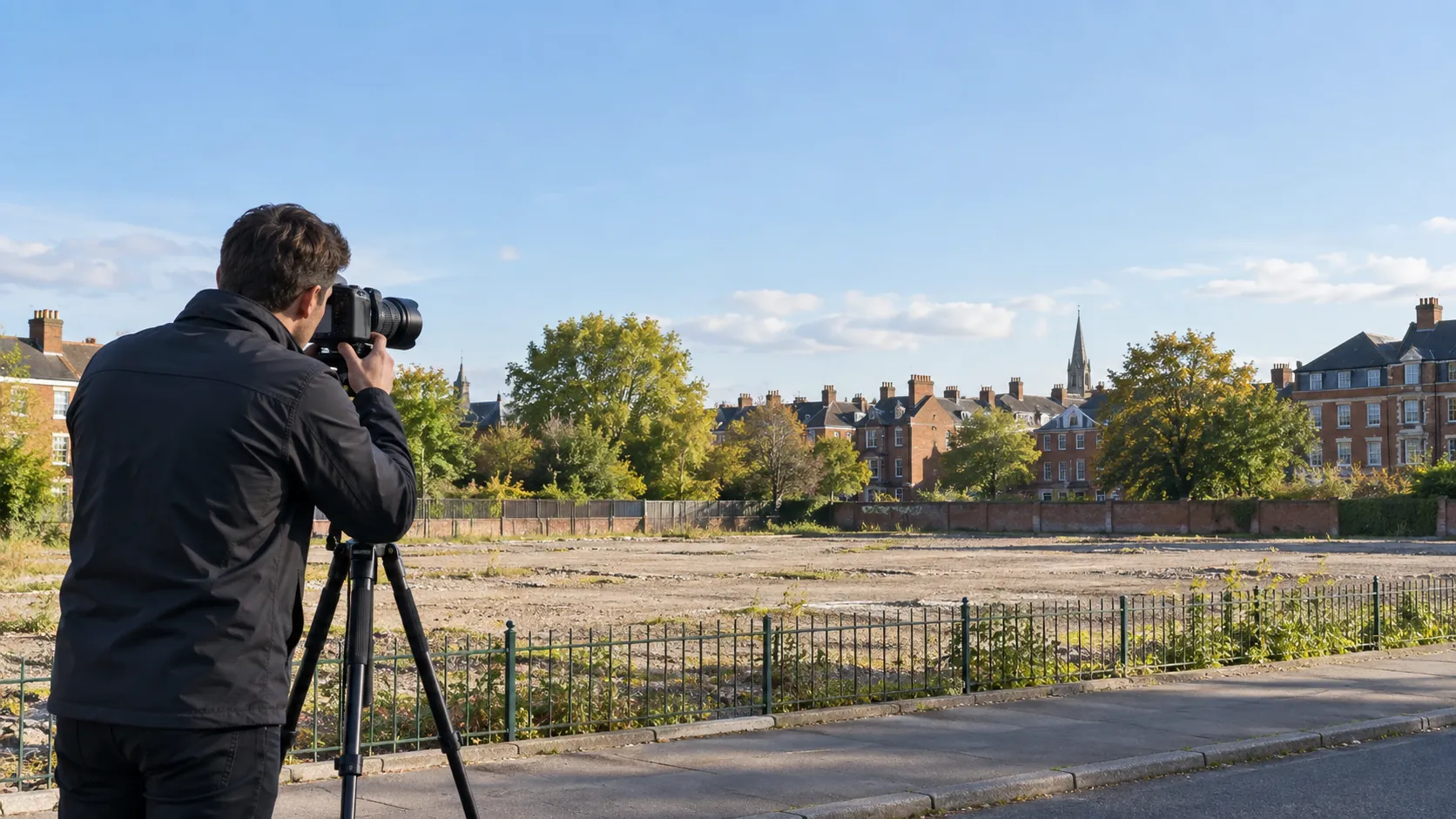
- Photography: Capturing high-resolution images from key viewpoints allows us to document existing conditions. We use drones for aerial views, offering a perspective of larger sites.
- Integration: Here, we combine data, images, and designs using software like AutoCAD and Revit, which support Building Information Modelling (BIM) for seamless integration with architectural plans.
- Final Presentation: We provide detailed visual representations including 3D models and annotated plans, alongside actionable insights to assist with decision-making.
For tailored survey solutions, contact us today to discuss how we can assist with your project.
Who Does AVR Surveys Help?
We provide essential support to architects, developers, and planning consultants involved in residential, commercial, and public sector projects. Our AVR surveys help these professionals present their proposals accurately to planning authorities, stakeholders, and the community.
Our surveys are instrumental for projects ranging from urban redevelopment to infrastructure improvements. We employ methods like topographical surveys and 3D laser scanning to gather precise data, ensuring compliance with local regulations and British Standards.
For residential projects, this precision aids in visualising new developments within existing neighbourhoods and minimising potential planning objections.
In commercial settings, we assist in designing sustainable spaces that maximise utility and efficiency. For public sector projects like schools and hospitals, our assessments support transparent planning, helping to achieve approval quickly and efficiently.
Contact us to see how we can enhance your next project.
How Quickly Can AVR Surveys Respond?
We understand the timely nature of planning applications and typically deliver our surveys within two to three weeks, depending on the project scale and complexity. Our team has expertise in various types of surveys such as topographic, measured building, and boundary surveys, using the latest equipment like Total Stations and GPS systems to achieve precise results.
For larger commercial projects or complex residential developments, we may require up to four weeks, factoring in elements like site accessibility and weather conditions. By adhering to RICS professional standards, we ensure our surveys meet industry requirements.
When rapid responses are needed for smaller projects, such as a single residential boundary dispute, we can often expedite services to meet urgent client needs.
Our team ensures efficient turnaround while maintaining accuracy and detail. Contact us to discuss your project timeline.
Request a free quote
How Does AVR Surveys Ensure Quality and Compliance?
We ensure our AVR surveys meet industry standards by using the latest survey technology and adhering to stringent data collection practices. Our process involves using equipment such as LiDAR scanners and high-resolution cameras, which capture detailed spatial data for comprehensive analysis.
We follow guidelines set by the Royal Institution of Chartered Surveyors (RICS), ensuring our surveys align with the highest professional standards.
Our commitment to quality is reflected in our verification processes. We carry out multi-stage data checks to maintain accuracy, cross-referencing with existing geographical information systems (GIS) where applicable.
This ensures compliance with planning regulations and delivers accurate, reliable visualisations for your projects. For those requiring BIM integration, we also provide models compatible with current software and protocols.
By choosing our services, you are assured of informed decision-making based on precise and dependable data. Contact us today to discuss your survey requirements.
Why Choose AVR Surveys?
Our clients choose us for our commitment to precision and reliability, supported by a range of industry-leading methods and technologies.
- Precision: We employ the latest laser scanning and photogrammetry techniques to ensure detailed and accurate data collection. Our equipment is calibrated to meet industry standards like ISO 9001, ensuring consistent results.
- Quality Imagery: Our high-resolution, drone-mounted cameras capture clear visuals that illuminate every detail of your project site, providing a view ideal for assessments in construction, real estate, and infrastructure development.
- Timely Service: We understand the importance of meeting project deadlines, which is why our streamlined processes enable quick turnaround times, typically within two to three business days, without compromising on accuracy.
- Professional Experience: We possess expertise across various sectors, from residential and commercial construction to environmental and heritage conservation. Our team stays certified with continuing professional development (CPD) to adapt to industry advancements.
Our focus on precision, quality, and timeliness makes us a reliable partner for all your surveying needs. Contact us today to discuss your project requirements.
Frequently Asked Questions
What is an AVR survey?
An AVR survey combines survey data, photography, and design information to create visual representations showing how a development will appear from specific viewpoints.
Why are verified views important?
Verified views help stakeholders visualise the impact of a development and ensure proposals comply with planning requirements, aiding decision-making.
How precise are AVR surveys?
Our AVR surveys use equipment and methodologies to ensure precision and accurate visual representation.
Get a Free Quote
Request a free, no-obligation quote from AVR Surveys today. Our team is ready to assist with your planning application needs.
speak with our team today
What People are Saying About Us
★★★★★
“Such a friendly, helpful team at AVR Surveys, and we were really delighted with the whole experience.”
Charlotte Pritchard
North West
★★★★★
“Brilliant visuals, very professional. Highly recommend AVR Surveys.”
Lauren Mackenzie
East Midlands
★★★★★
“Our planning application needed realistic verified views of the proposed development, and the deadline was tight. AVR Surveys was far quicker than I had expected, and the images were accurate and persuasive. The planners had everything they needed first time, with no requests for revisions. I would highly recommend them.”
Aisha Whittle
Yorkshire and The Humber
★★★★★
“We needed accurate visual representations for a planning submission on a very short timescale. The AVR Surveys team were helpful and professional throughout, patient with our questions and always ready to explain each stage of the process.”
James Ellison
South East
Our Locations
We are proud to work nationally across the UK, allowing us to ensure we can provide services to you.
For a full list of counties we cover in the UK, see below.